The world of mapping and spatial analysis has two key players, Lidar and Photogrammetry. They both help us understand and survey the land, but they work in different ways. Lidar uses laser beams, while Photogrammetry relies on images.
In this exploration, we delve into the intricacies of Lidar laser and Photogrammetry, unravelling their strengths, weaknesses, and the dynamic interplay that shapes the geospatial industry.
Lidar Illuminating with Laser Precision
Lidar laser, short for Light Detection and Ranging, works by using laser beams to measure distances and make detailed 3D maps of the land or objects it’s looking at. It’s like using lasers to create an accurate picture of things.
Lidar systems have lasers, scanners, and GPS devices that all work together. They send out laser pulses, catch the signals that bounce back, and figure out exactly how far away things are. It’s like using lasers to make a smart map!
How Does Lidar Work?
Lidar laser operates through a series of steps, beginning with the emission of laser pulses directed towards a target area, be it the Earth’s surface or a vegetation canopy. These emitted pulses encounter surfaces and objects, reflecting to the Lidar sensor.
Utilizing the time taken for these laser pulses to return, Lidar calculates the distance to each point with exceptional precision. The culmination of these distance measurements results in a point cloud, effectively capturing the spatial characteristics of the surveyed area. This process allows the lidar laser to create detailed 3D maps with accuracy.
Applications of Lidar
1. Topographic Mapping
Lidar is widely used for high-precision topographic mapping, providing detailed elevation models and capturing terrain features with exceptional accuracy.
2. Forestry and Agriculture
In forestry, Lidar laser aids in assessing tree canopy structures and estimating biomass. In agriculture, it assists in crop health monitoring and yield prediction.
3. Urban Planning
Lidar laser supports urban planning by creating detailed 3D models of cities, aiding in infrastructure development, and disaster risk assessment.
4. Autonomous Vehicles
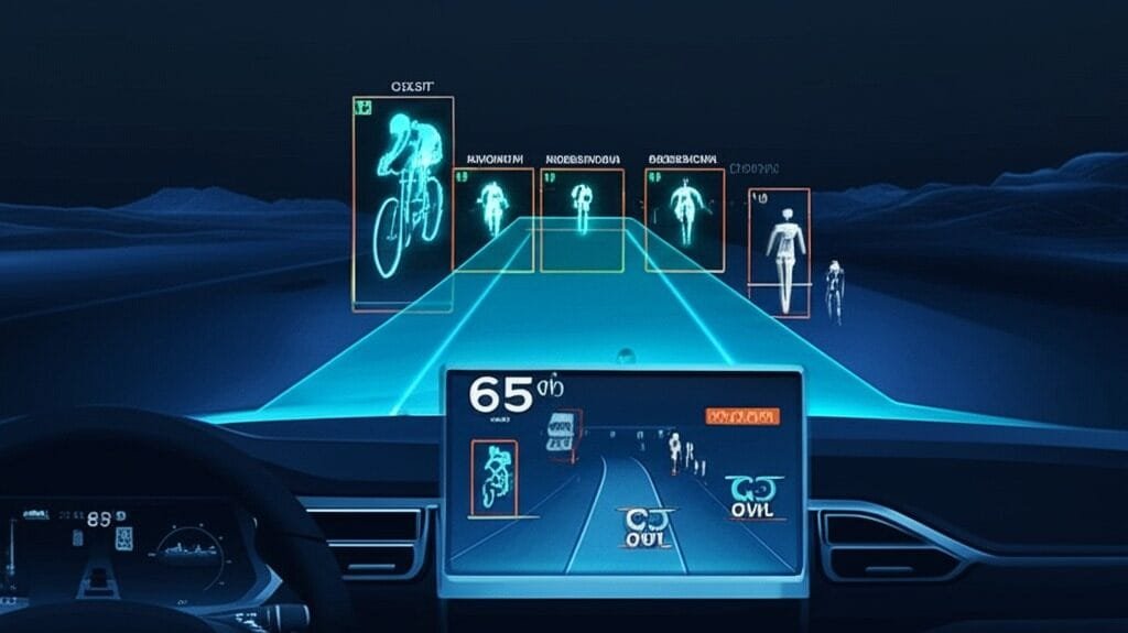
Lidar laser is the critical component for autonomous vehicles, enabling them to perceive and navigate their surroundings with precision.
Photogrammetry Aerial Insights Through Imagery
Photogrammetry, on the other hand, derives spatial information from overlapping images captured by cameras. It relies on the principles of triangulation and perspective to measure distances and recreate three-dimensional scenes.
In essence, Photogrammetry transforms 2D imagery into detailed 3D models, making it a valuable tool in fields such as surveying, cartography, and cultural heritage preservation.
How Photogrammetry Works?
Photogrammetry operates through a systematic process, starting with the capture of a series of overlapping images from different perspectives, whether airborne or terrestrial. The identification of common features in these overlapping images enables the system to establish correspondences.
Through a process known as triangulation, the system calculates the spatial coordinates of points in the scene, leveraging the known positions of the camera and the identified features. The culmination of these spatial coordinates results in the creation of a Digital Surface Model (DSM).
Providing a comprehensive representation of the terrain or objects in a three-dimensional space. This method allows Photogrammetry to construct accurate 3D models from images.
Applications of Photogrammetry
1. Mapping and Cartography
Photogrammetry is a cornerstone in map creation, providing accurate and detailed representations of landscapes, urban areas, and infrastructure.
2. Cultural Heritage Documentation
It is extensively used for documenting and preserving cultural heritage sites and creating detailed 3D models of historical structures and artefacts.
3. Infrastructure Monitoring
Photogrammetry aids in monitoring the condition of infrastructure such as bridges, dams, and pipelines, enabling preventive maintenance.
4. Land Use Planning
Urban planners utilize Photogrammetry to analyze land use patterns, assess changes over time, and make informed decisions for development.
Future Trends and Innovations
1. Lidar sensor miniaturization
Lidar sensors that are lighter and smaller are becoming more common. by increasing the opportunities for their platform-specific integration. They consist of handheld gadgets and unmanned aerial vehicles (UAVs).
2. Data Processing Automation
The creation of precise and comprehensive spatial models is becoming easier thanks to automated workflows for data processing in both photogrammetry and lidar laser, which also minimize the need for manual intervention.
3. Artificial Intelligence Integration
Enhanced feature recognition and classification are being achieved through the integration of artificial intelligence. They increase the effectiveness of data analysis by utilizing the Lidar and Photogrammetry data.
Conclusion
Lidar and Photogrammetry, using lasers and aerial images, have changed how we understand and map spaces. As technology keeps getting better, combining advanced tools and creative methods, the future looks exciting for collecting and analyzing spatial data. It’s like using lasers and pictures to create a whole new way of looking at the world!
InPhenix is a top player in Lidar technology, dedicated to providing high-tech Lidar lasers. Their super-advanced solutions set a new standard for accuracy in understanding spaces. As the world of maps and sensors grows, InPhenix is leading the way, pushing the limits of laser sensing.